
The problem
Finding a place to camp involves more than finding a point on a map. Cost, vehicle access, land agency, amenities, and the quality of the available information all affect whether a location fits a trip.
The product
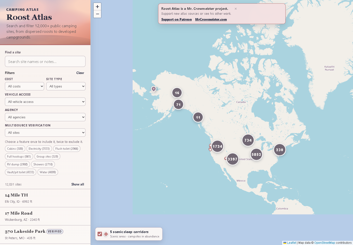
Roost Atlas brings map browsing, place search, clustered markers, and detailed camping records together. Visitors can narrow locations by cost, camping type, vehicle access, land agency, and verification.
The decisions in the interface
Filters sit alongside the map and site list, so visitors can compare the geography with the practical details. Records show access, amenities, and sources where those facts are available. Verification is itself a filter, giving the quality of the research a visible place in the product.
The result
A public tool for exploring free, dispersed, and developed camping. The live interface provides a direct way to inspect the work: search a place, change the filters, and examine an individual record.